-
Title/Item
-
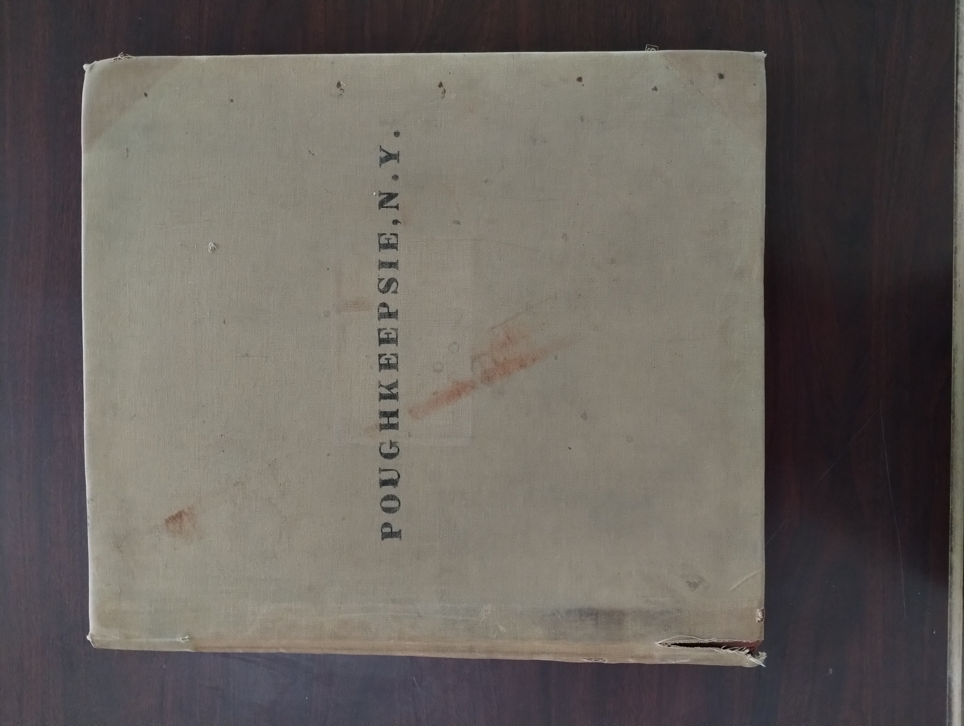
Sanborn Insurance Maps of Poughkeepsie, New York (2 Volumes)
-
ID#
-
GEO0036
-
Creator/ Maker
-
Sanborn Map Company
-
Date Created
-
1913
-
Location Made
-
New York, New York
-
Materials
-
Lithogrpahed sheets, bound in a large volume
-
Condition
-
Bindings are stressed and deteriorating, but sheets within are robust and colorful.
-
Location Stored
-
ELY Hall
-
Category
-
Printed Materials
-
Description
-
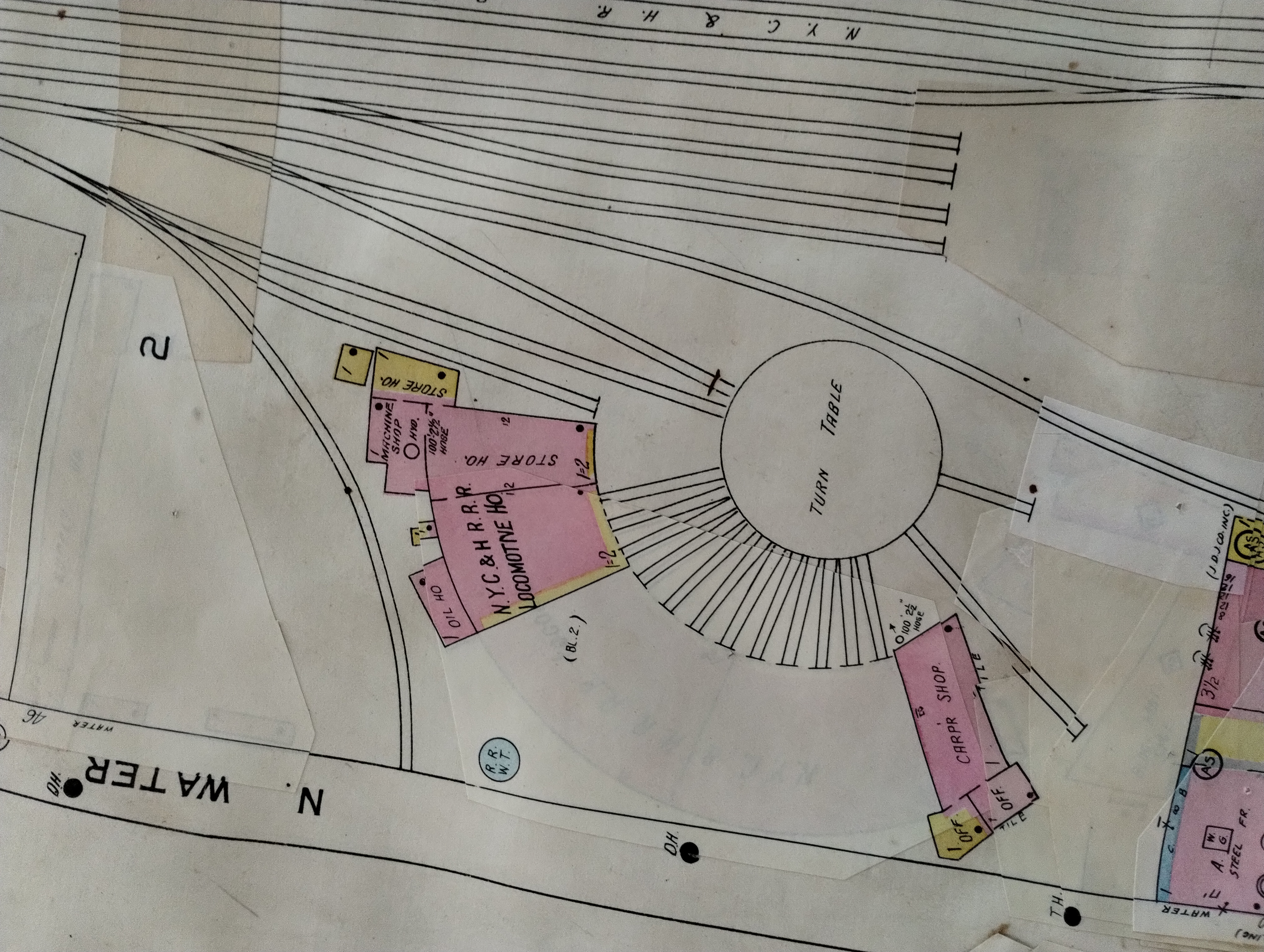
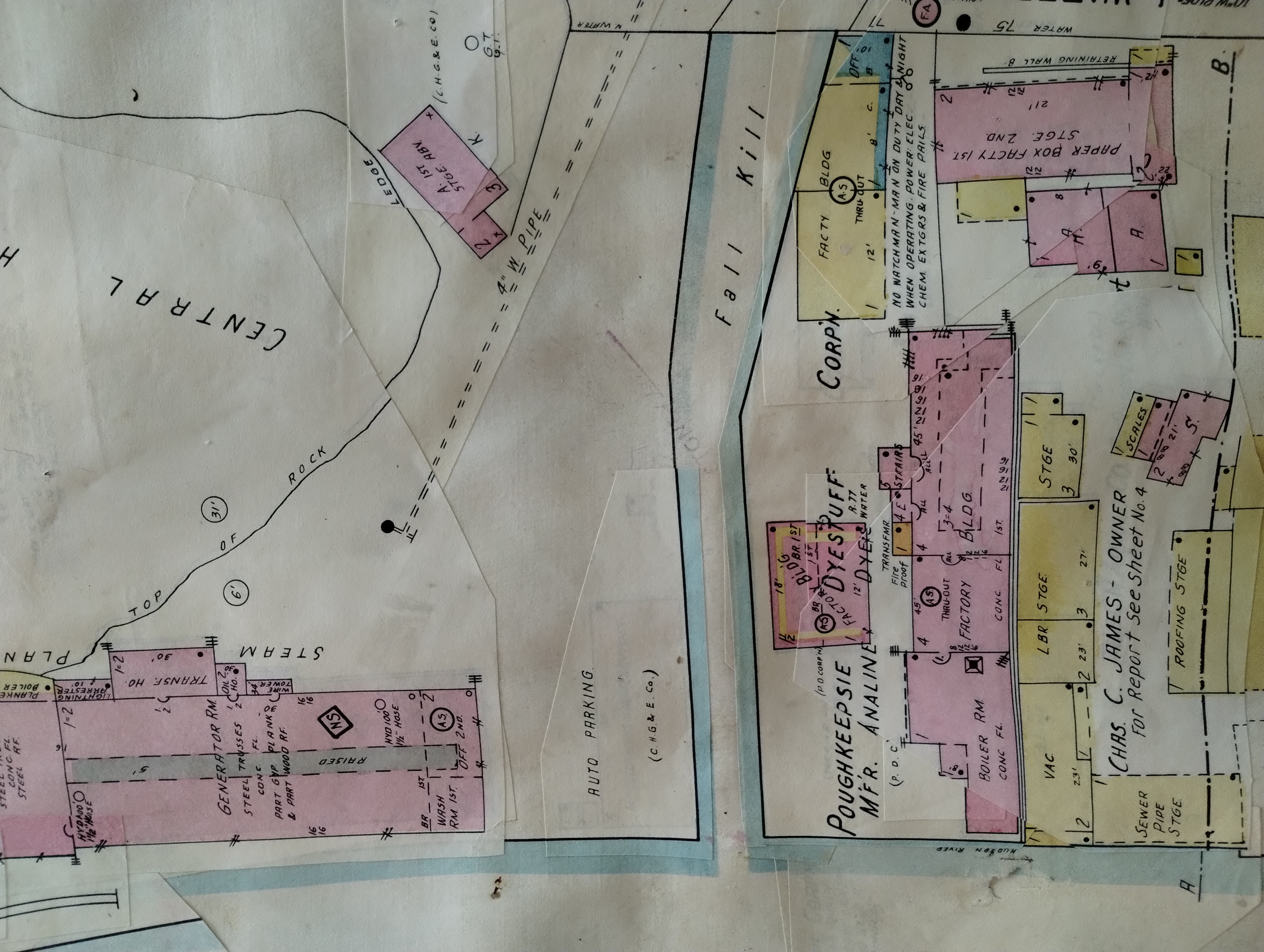
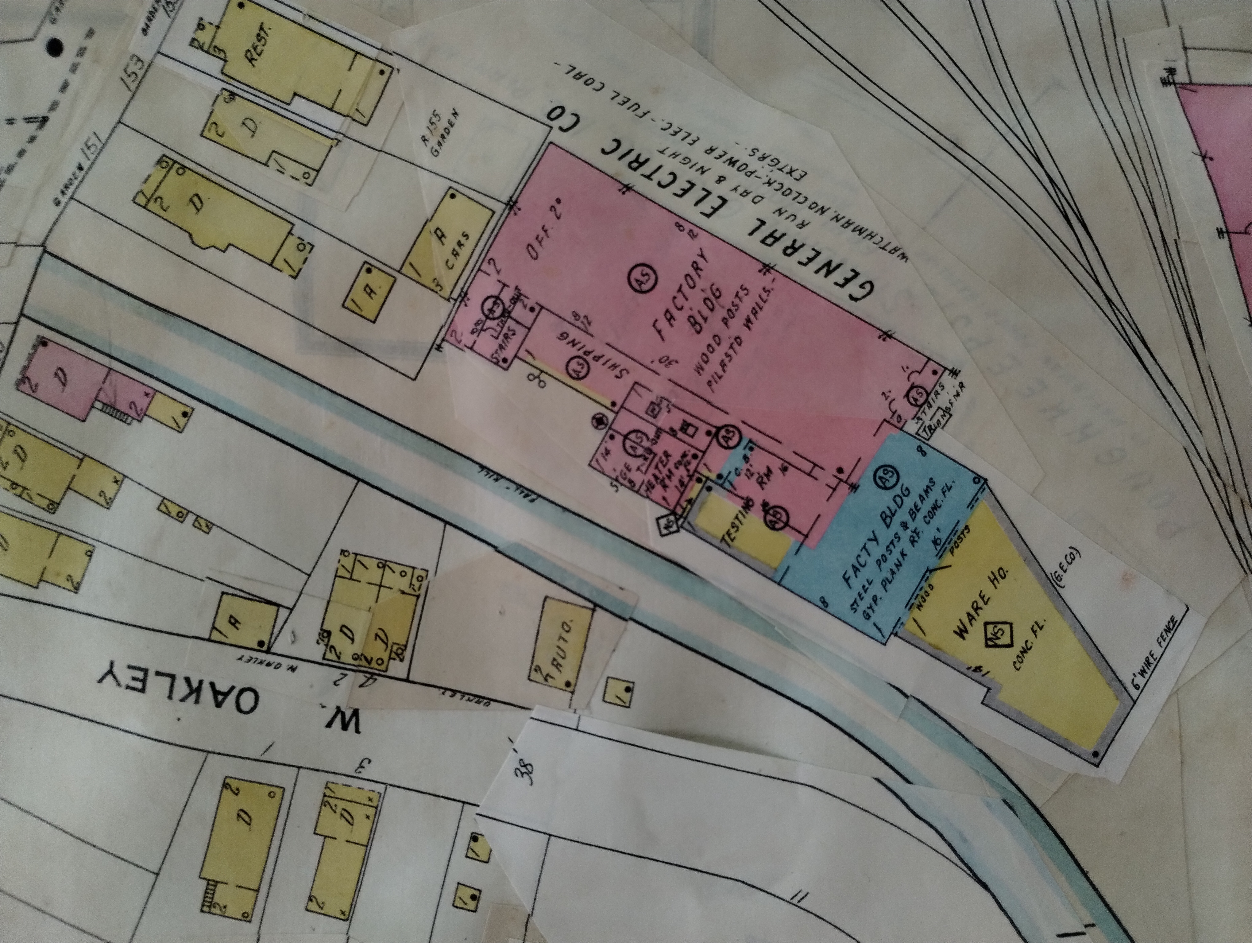
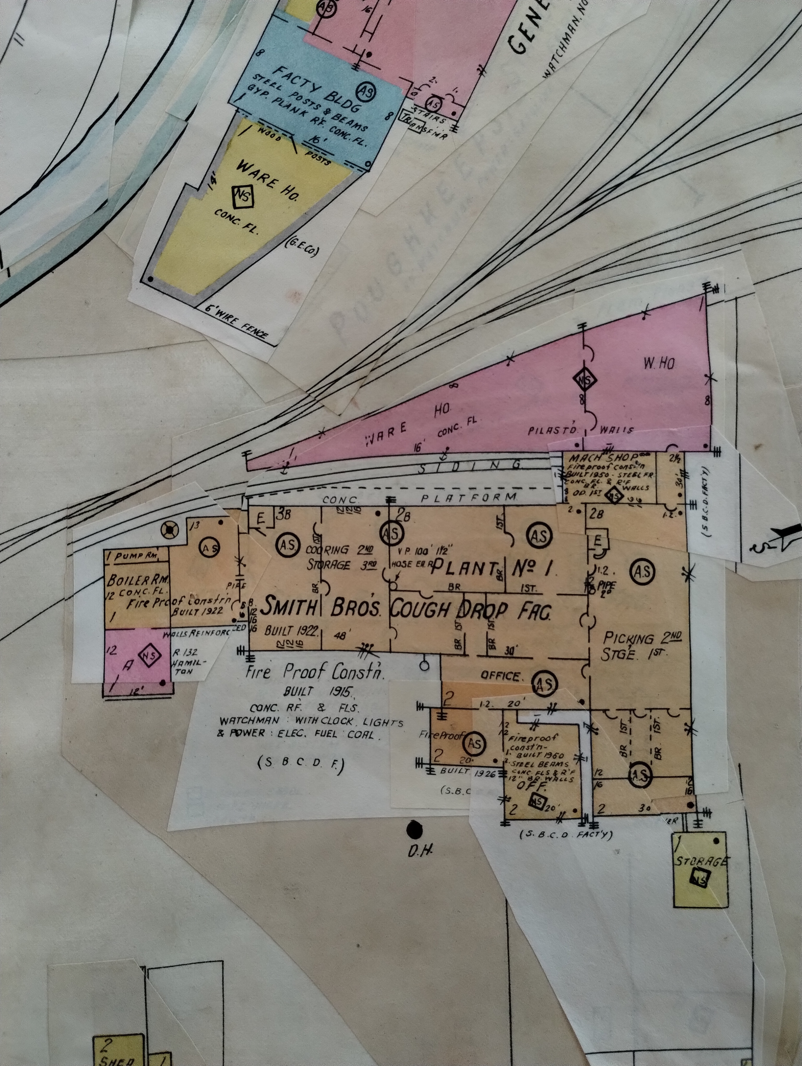
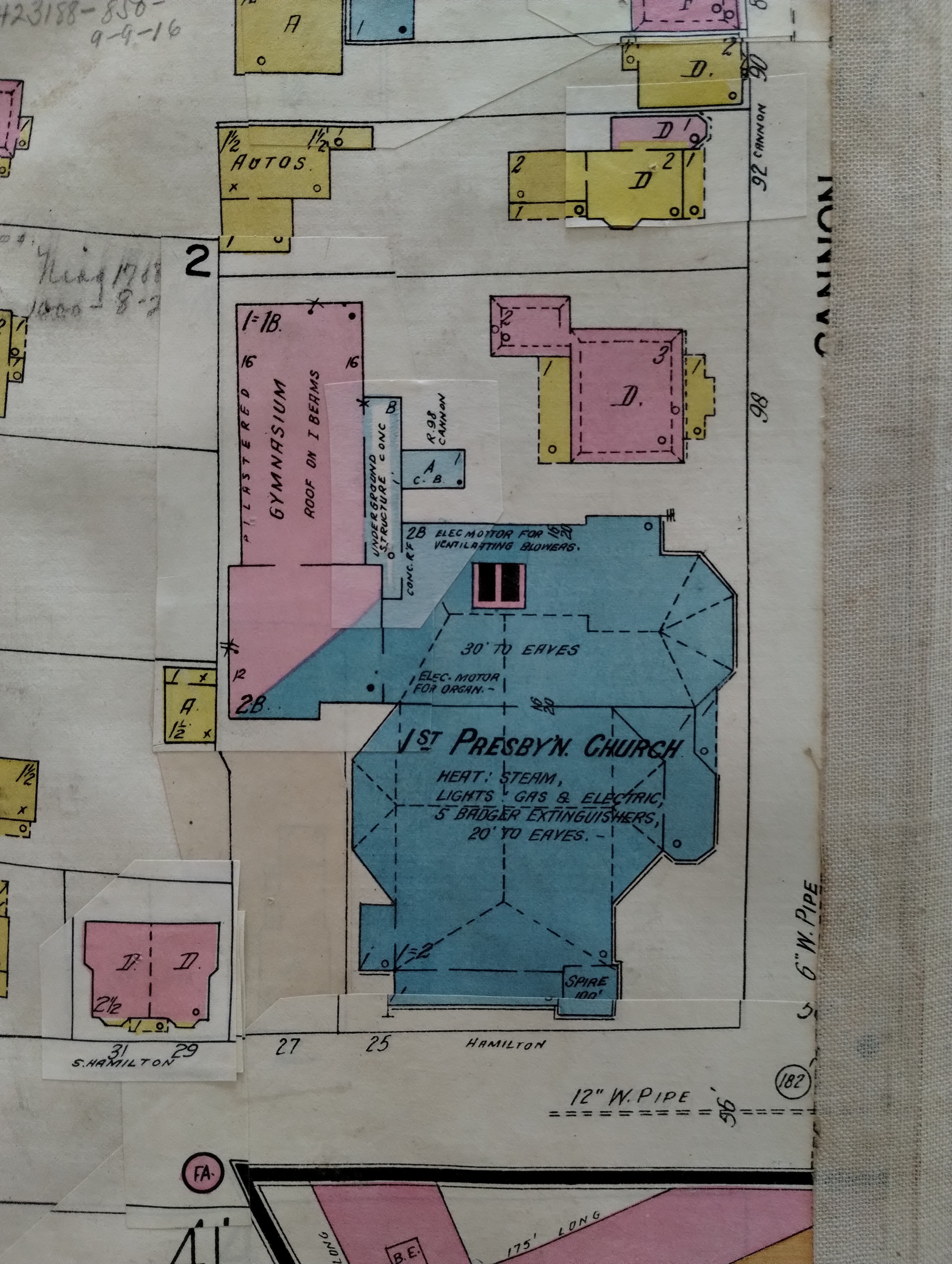
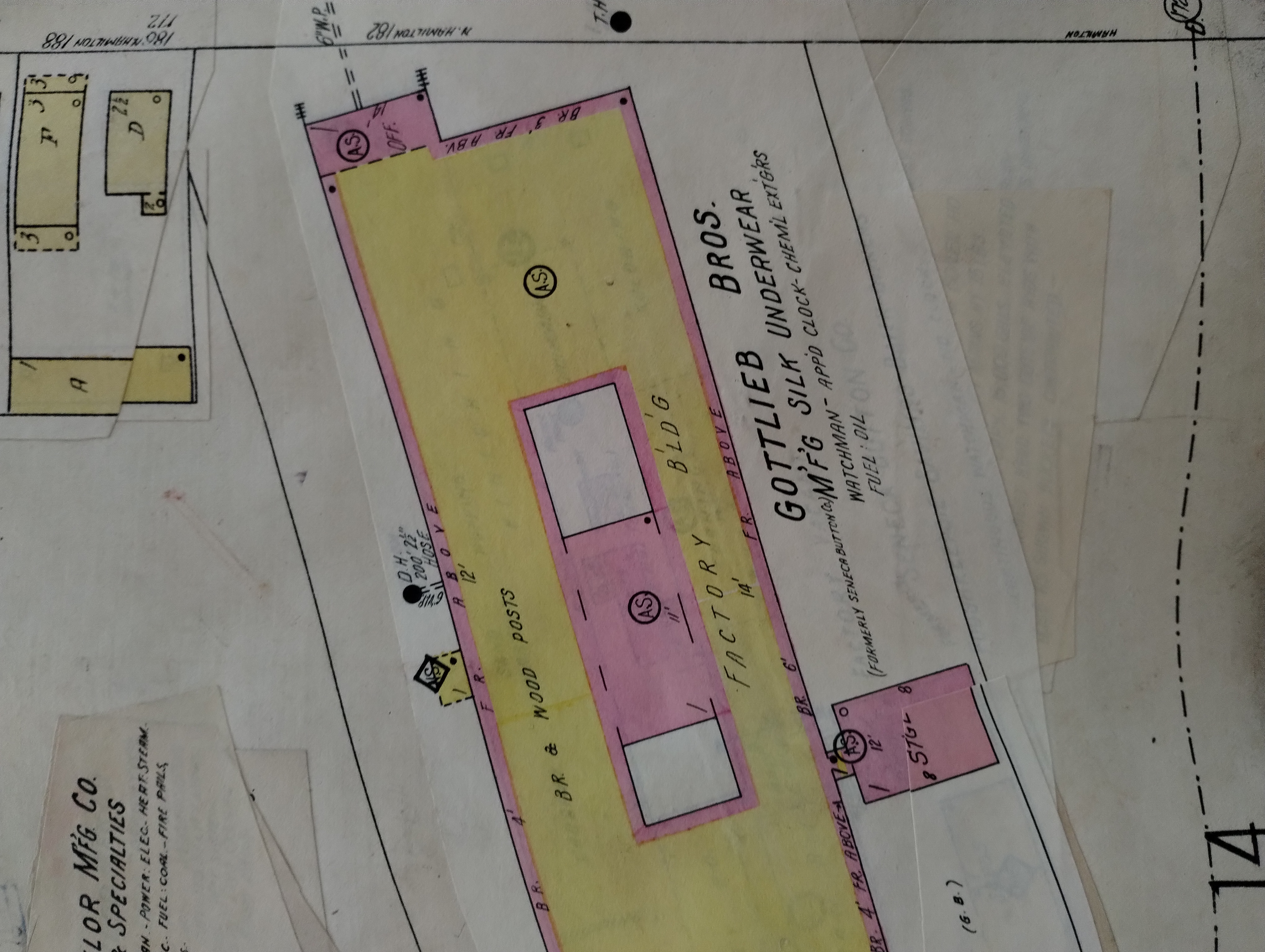
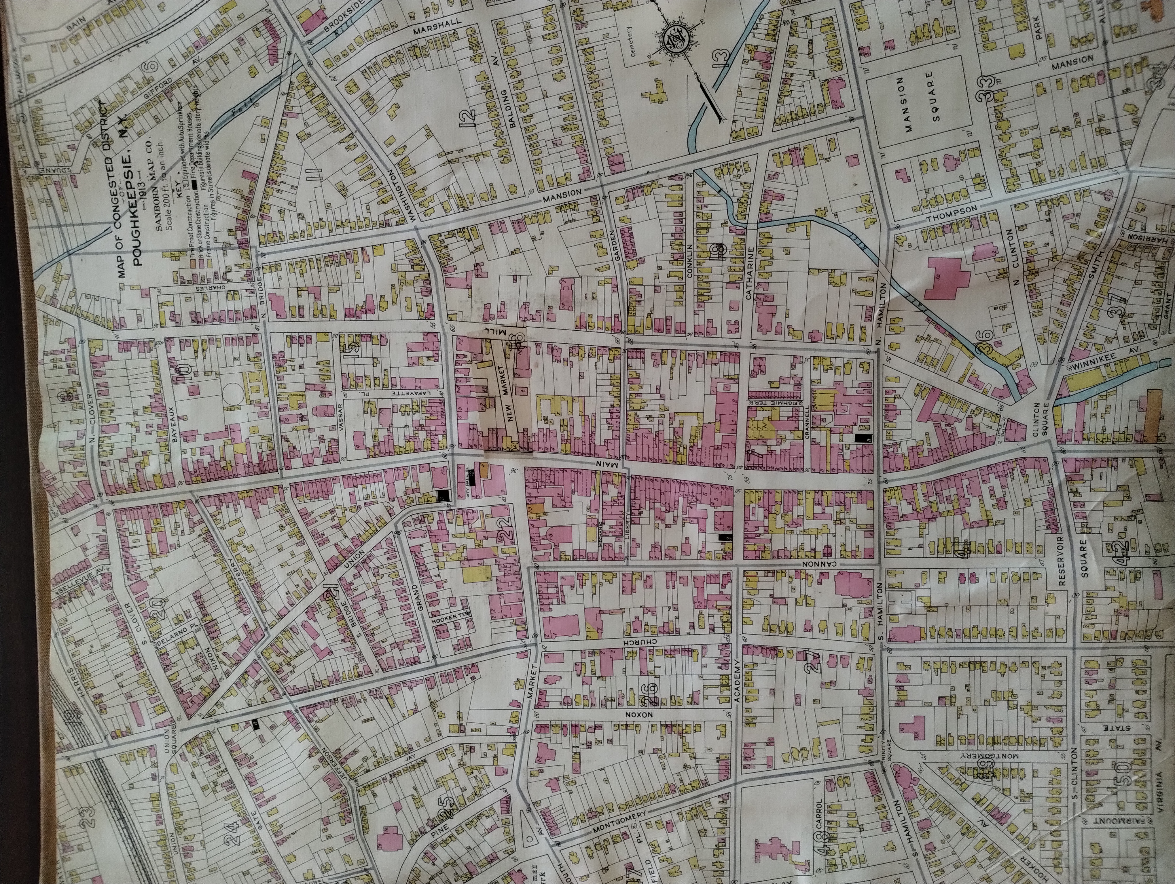
Sanborn Insurance Maps allowed fire insurance companies to assess risk in urban areas by cataloguing infrastructure details. Information,collected, such as 'structural materials', 'fire hydrants', 'building occupants' and 'wind direction' was all used to underwrite specific structures.
The Sanborn maps themselves are large-scale lithographed street plans at a scale of 50 feet to one inch (1:600) on 21 by 25 inches (53 by 64 cm) sheets of paper. The maps were published in volumes, bound and then updated until the subsequent volume was produced. Larger cities would be covered by multiple volumes of maps. Between editions of published volumes, map updates were sent out as correction slips. Sanborn employees, called "pasters" or "correctors", would visit subscribers' offices to paste the slips on top of the old maps.
This volume was in use from 1913 to 1951, which is about when Sanborn Maps were becoming obsolete. As artifacts, Sanborn maps have become useful in telling the story of urban development across the United States, as well as making possible deep dives into local history of people and the lives they led.